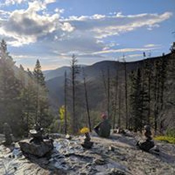
Roan Mountain via Appalachian Trail
5.6 mi
Distance
2 hrs 58 min
Time
terrain
1,329 ft
Elev Gain
Overview
This is a moderate one way trail in Cherokee National Forest.
This trail goes by Round Bald, Jane Bald, Roan Mountain, and Yellow Mountain.
Sights to See
Rate this Hike
★★★★★


Public Tracks