United States
›
North Carolina
›
Southern Nantahala Wilderness
›
Nantahala National Forest via National Forest Road
Search
Search
Nantahala National Forest via National Forest Road
(
)
★
★
★
★
★
based on
22
tracks & routes
|
|
EASY
#7
hike out of 153 in
Southern Nantahala Wilderness
|
EASY
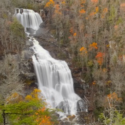
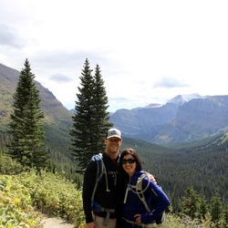
View Photos (1)
fullscreen
link
Copy Link
email
Email
directions
Driving Directions
file_download
GPX/KML
GPX
KML
1.4
mi
Distance
42
min
Time
terrain
218
ft
Elev Gain
Public Tracks
Waterfall Adventurer
3 months, 1 week ago
Pickens Nose
cgaston
4 months, 1 week ago
Pickens Nose
tmoore2624
6 months, 1 week ago
Thursday Lunch Activity
Jack Thyen
1 year, 6 months ago
Track (9/16/23, 9:07:06AM)
ericcornett123
3 years, 3 months ago
Pickens nose
voidafter30
3 years, 8 months ago
Track (7/8/21, 2:51:42PM)
keasterlingramos
3 years, 8 months ago
Pickens Nose
kas02012008
3 years, 9 months ago
Track (6/12/21, 2:13:04PM)
matt
4 years, 10 months ago
Mooney Gap to Pickens Nose, Macon County, NC, USA
adam.r.spain
5 years, 6 months ago
Pickens Nose Trail
stars
scott.matthew.carlson
7 years, 4 months ago
Western NC - Pickens Nose
Matthew-Becca
10 years, 3 months ago
Pickens Nose Trail
Elevation Profile
0
0.20
0.40
0.60
0.80
1
1.20
1.40
4.7k
4.8k
4.8k
4.9k
Seasonal Popularity
Jan
Feb
Mar
Apr
May
Jun
Jul
Aug
Sep
Oct
Nov
Dec
0k
0.005k
0.01k
Nearby Hiking Trails
Standing Indian Mountain Loop via Appalachian Trail
★
★
★
★
★
DIFFICULT
23.6
mi
Kimsey Creek Group Camp Site A via Appalachian Trail
★
★
★
★
★
DIFFICULT
22.9
mi
Backcountry Info. Center via Appalachian Trail
★
★
★
★
★
DIFFICULT
24.1
mi
Little Ridgepole Mountain via Appalachian Trail
★
★
★
★
★
DIFFICULT
11.9
mi
Standing Indian via Appalachian Trail
★
★
★
★
★
DIFFICULT
12.3
mi
Appalachian Trail
★
★
★
★
DIFFICULT
8.2
mi
Little Ridgepole Mountain via Appalachian Trail
★
★
★
★
MODERATE
7.2
mi
Albert Mountain via Appalachian Trail
★
★
★
★
DIFFICULT
11.2
mi
Winding Stair Gap via Appalachian Trail
★
★
★
DIFFICULT
24.1
mi
Little Ridgepole Mountain via Appalachian Trail
★
★
★
★
DIFFICULT
15.6
mi


 stars
stars
