Dorf and Plattenbödeli
10.1 mi
Distance
4 hrs 9 min
Time
terrain
2,890 ft
Elev Gain
Overview
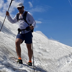
This is a moderate one way trail in Sankt Gallen.
Rate this Hike
★★★★★


 stars
stars