Crag Crest Campground Loop via Crag Crest Trail and Crag Crest Loop Trail
10.4 mi
Distance
5 hrs 40 min
Time
terrain
909 ft
Elev Gain
Overview
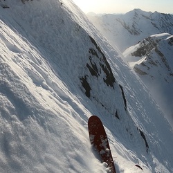
This is a difficult loop trail to Crag Crest Campground in Grand Mesa National Forest.
Rate this Hike
★★★★★