Strand Hill Trail 556 Loop
11.4 mi
Distance
6 hrs 24 min
Time
terrain
876 ft
Elev Gain
Overview
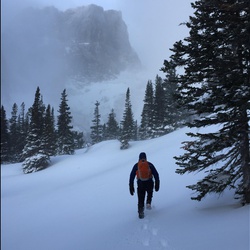
This is a difficult loop trail to Strand Bonus Trail 407, Canal Trail 408 in Gunnison National Forest.
Sights to See
Rate this Hike
★★★★★