9.9 mi
Distance
4 hrs 31 min
Time
terrain
3,399 ft
Elev Gain
Sights to See
Public Tracks
McClellan Butte
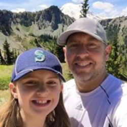
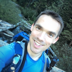
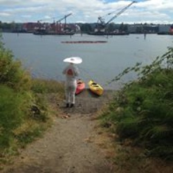
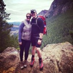
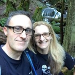
This was our second hike on this trail. The first time was in the spring and there was still lots of snow. We thought that was what made it a hard hike. Summer and no snow didn't make this one any easier. In our opinion, this hike is harder than Mailbox. Definitely a leg-burner. Bathrooms at the trailhead and there's lots of parking. This hike tends to only have experienced hikers that know trail etiquette, which is nice. It's well maintained and although you do have to do some walking on the John Wayne trail, it's not for long. At the end of the John Wayne trail there is a waterfall on the right. We climbed down to enjoy it for a bit before starting the long trek up. Small glimpses of the surrounding mountains. It was rather crowded at the peak so we sat just under it on a large flat rock for lunch. This is an awesome trail to run down, until you hit the John Wayne trail again.

McClellan Butte
This was our second hike on this trail. The first time was in the spring and there was still lots of snow. We thought that was what made it a hard hike. Summer and no snow didn't make this one any easier. In our opinion, this hike is harder than Mailbox. Definitely a leg-burner. Bathrooms at the trailhead and there's lots of parking. This hike tends to only have experienced hikers that know trail etiquette, which is nice. It's well maintained and although you do have to do some walking on the John Wayne trail, it's not for long. At the end of the John Wayne trail there is a waterfall on the right. We climbed down to enjoy it for a bit before starting the long trek up. Small glimpses of the surrounding mountains. It was rather crowded at the peak so we sat just under it on a large flat rock for lunch. This is an awesome trail to run down, until you hit the John Wayne trail again.
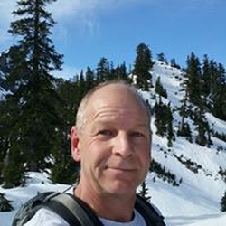
Rob: McClellan Butte
This was our second hike on this trail. The first time was in the spring and there was still lots of snow. We thought that was what made it a hard hike. Summer and no snow didn't make this one any easier. In our opinion, this hike is harder than Mailbox. Definitely a leg-burner. Bathrooms at the trailhead and there's lots of parking. This hike tends to only have experienced hikers that know trail etiquette, which is nice. It's well maintained and although you do have to do some walking on the John Wayne trail, it's not for long. At the end of the John Wayne trail there is a waterfall on the right. We climbed down to enjoy it for a bit before starting the long trek up. Small glimpses of the surrounding mountains. It was rather crowded at the peak so we sat just under it on a large flat rock for lunch. This is an awesome trail to run down, until you hit the John Wayne trail again.
Rob: McClellan Butte
NOTE: 6.7 miles ONE WAY!
GPS screwed up AGAIN!
Crazy elevation hike - pretty similar to the OLD Si trail, but more elevation. The majority of UP is in a 3 mile section, making it steeper than Si as well.
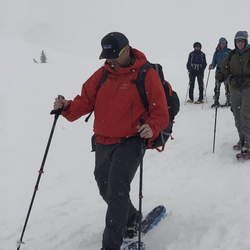
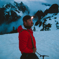
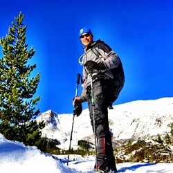
Snow-covered above 5000' in July. Didn't expect that... but the ice caves were cool.
Definitely a leg-burner. Cramped quads near the end.
Good running trail down, except for the scree (loose rock) section.
Even though the guide books all say anywhere from 9-10 miles, I'm not sure where they got THAT idea. We had several GPS units with us and they all tagged it at 13.4 miles.
Several hikers were asking "when does this end"... Gives you an idea of the difficulty (rated difficulty 5/5 at WTA).

20619 Tinkham Road Southeast, King County, WA, USA
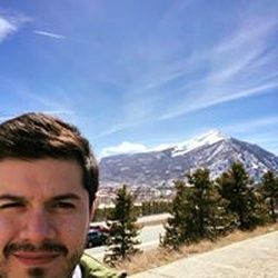
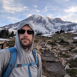
What a spectacularly perfect day for a hike. It was very steep but absolutely beautiful. The view of mount rainier was one of the best!