25.6 mi
Distance
13 hrs 49 min
Time
terrain
3,960 ft
Elev Gain
Public Tracks

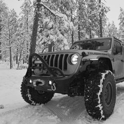
Onion Creek 2.0
This run takes you on a scenic loop in the area east of Moab. Onion Creek, Fisher Valley then up into the National Forest to La Sal Mountain Loop.
Onion Creek 2.0
This run takes you on a scenic loop in the area east of Moab. Onion Creek, Fisher Valley then up into the National Forest to La Sal Mountain Loop.