United States
›
Colorado
›
Colorado National Monument
›
Devil's Kitchen via Serpent's Trail
Search
Search
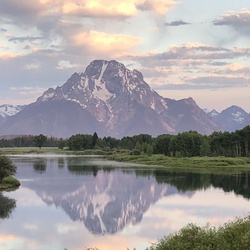
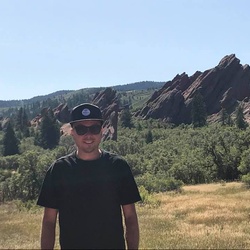
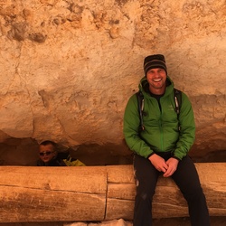
Devil's Kitchen via Serpent's Trail
(
)
★
★
★
★
★
based on
38
tracks & routes
|
|
MODERATE
#17
hike out of 26 in
Colorado National Monument
|
MODERATE
View Photos (4)
fullscreen
link
Copy Link
email
Email
directions
Driving Directions
file_download
GPX/KML
GPX
KML
3.8
mi
Distance
1
hrs
31
min
Time
terrain
811
ft
Elev Gain
Public Tracks
imjoeyg
3 weeks, 2 days ago
Serpents Trail w/GG
moneybruce
1 month ago
Monday Lunch Backpacking
alancbest
1 month, 2 weeks ago
Monday Morning Hiking
kent
2 months ago
Serpents trail
aahesse6
2 months, 3 weeks ago
Serpents Trail Grand Junction
dmccart1987
3 months ago
Saturday Afternoon Activity
rodney.thompson
6 months, 2 weeks ago
New Track 9/7/24 12:48:11 PM
Jody.h.olson
3 years, 10 months ago
Track (5/23/21, 09:32:4)
cwlangsfeld
3 years, 10 months ago
Track (4/28/21, 2:24:40PM)
stoney0786
4 years ago
Serpents trail
Gilgamesh
4 years ago
Track (3/12/21, 10:59:25)
henleym
4 years, 1 month ago
Serpents Trail
stevenweinzimmer
4 years, 2 months ago
Track (12/27/20, 3:36:38PM)
tdwenger1
4 years, 3 months ago
Serpent’s Trail
hellojbell
4 years, 3 months ago
Serpent's Lower Trailhead to Serpent's Upper Trailhead, Mesa County, CO, USA
arvinreddy
4 years, 3 months ago
Track (11/26/20, 11:24:58AM)
KatyJ
5 years, 5 months ago
Serpents trail
danielkeith33
5 years, 9 months ago
Serpents Trail Down
danielkeith33
5 years, 9 months ago
Serpents Trail UP
dubxio
8 years, 6 months ago
Devils Kitchen Picnic Area to Serpent's Upper Trailhead, Mesa County, CO, USA
ecox1019
8 years, 9 months ago
Serpent's Lower Trailhead to Serpent's Upper Trailhead, CO, USA
Elevation Profile
0
0.50
1
1.50
2
2.50
3
3.50
5.2k
5.4k
5.6k
5.8k
Seasonal Popularity
Jan
Feb
Mar
Apr
May
Jun
Jul
Aug
Sep
Oct
Nov
Dec
0k
0.005k
0.01k
0.015k
Nearby Hiking Trails
Tabeguache Trail Loop
★
★
★
EASY
2.6
mi
Liberty Cap Loop
★
★
★
★
★
EASY
3.0
mi
Windmill Trail Loop
★
★
★
DIFFICULT
23.8
mi
The Ribbon
★
★
★
★
★
EASY
3.2
mi
Ute Canyon Upper Trailhead via Ute Canyon Trail
★
★
★
★
MODERATE
5.1
mi
The Ribbon and Andy's
★
★
★
★
MODERATE
6.9
mi
The Ribbon
★
★
★
DIFFICULT
11.4
mi
Fallen Rock via Ute Canyon Trail
★
★
★
★
EASY
4.0
mi
Water Tower Mountainbike Trail Loop
★
★
★
EASY
3.1
mi
Fallen Rock via Ute Canyon Trail
★
★
★
★
★
MODERATE
5.2
mi