6.2 mi
Distance
2 hrs 59 min
Time
terrain
1,330 ft
Elev Gain
Public Tracks
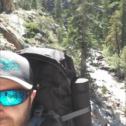
Relief Reservoir
189 Acres at 7246' elevation. It is 3.5 miles from the trailhead (to the north side of the lake, almost 5 miles to the south shore) with a 1000 foot gain.Easiest access to the lake is to hike past the dam to Grouse Creek, just past the creek you will find a small path to the left that will take you to the Relief Reservoir shoreline. Campsites will be to the left and right of the trail once you reach the shore.
Fishing: The lake is planted with Rainbow Trout.