Black Elk Peak Loop via Harney Peak Trail and Trail 4
7.1 mi
Distance
3 hrs 45 min
Time
terrain
991 ft
Elev Gain
Overview
This is a moderate loop trail to Black Elk Peak in Custer State Park.
This trail goes by Flashers View.
Sights to See
Rate this Hike
★★★★★


Public Tracks

Black Elk Peak is the highest natural point in South Dakota 7,242
Great Hike to the Highest Peak East of the Rockies
Black Elk Peak is the highest natural point in South Dakota. It lies in the Black Elk Wilderness area, in southern Pennington County, in the Black Hills National Forest.[2] The peak lies 3.7 mi (6.0 km) WSW of Mount Rushmore.[5] At 7,242 feet (2,207 m),[1] it has been described by the Board on Geographical Names as the highest summit in the United States east of the Rocky Mountains. It was formerly known as Harney Peak (1855–2016) and is known as Hinhan Kaga (in Lakota).

Mt. Harney, SD
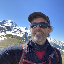
To Mt. Harney from Sylvan Lake on a chilly (7° C) day in September with Paul Grenier.

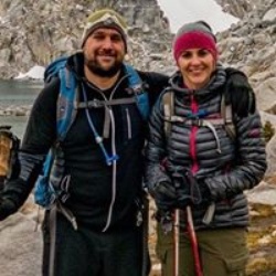
Black Elk Peak - Little Devil's Tower - Cathedral Spires Loop 7/2/19 5:56:01 AM
Loop. Stopped a little short from the top of little devils tower


 stars
stars